


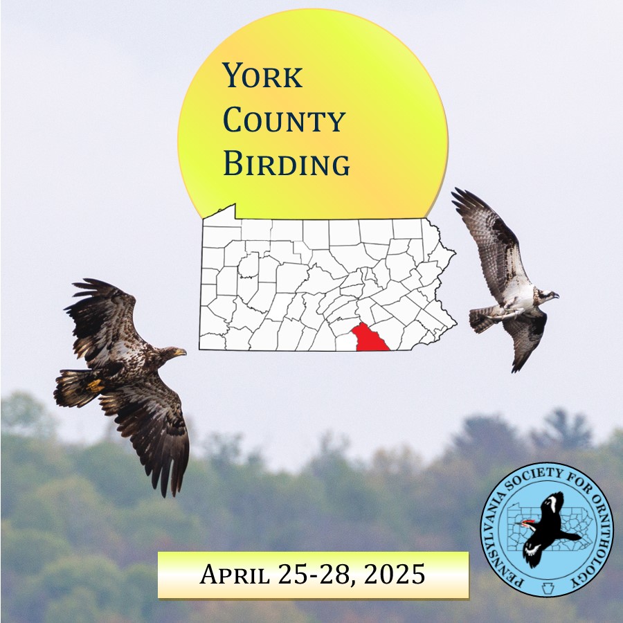
York County Spotlight
April 25-28, 2025
The Pennsylvania Society for Ornithology (PSO) is promoting counties across the state to explore its hotspots and find as many birds as we can. On April 25th, join us as we lead a 4-day concentrated effort to bird York County! This is another southern county that we are planning to visit during the early migration season. We have field trips, owling spots and birding activities lined up all 4 days. York currently sits 22nd all time for species out of 67 and 11th all time for total checklists. As a group, we want to document as many birds as possible during this extended weekend. Birders are invited to tag along with others or explore the county’s game lands, water areas, fields and other areas on their own terms. We have many ways to offer you hotspots to check out with the links below.
eBird hotspots for York county can be found here https://ebird.org/region/US-PA-133/hotspots
The PSO page for hotspots https://pabirds.org/siteguide/pacountypage.php?CountyID=67
York Birding Trail web page: https://www.yorkaudubon.org/york-county-birding-trail-map.html
We have created a Discord text/chat group for that spotlight to get out the word for rarities and group information, to join that, here is that link or you can search for the York County Birding Spotlight under the PSO Spotlights Events. https://discord.com/channels/1111453242149306441/1295339575069376574
York County also has their own rare bird alert on WhatsApp that will be helpful to follow along for getting the latest up to date alerts and news.
For anyone who is going to be birding during the 4-day birding spotlight, we ask you to share your eBird checklists with PSO Birding Data so we can keep track of the weekend totals. We have also created an eBird Trip Report link where pictures, checklists, etc. will be available for everyone to enjoy. Here is the link for the eBird trip report https://ebird.org/tripreport/323662
We will be sharing pictures and updates on the York County Birding Spotlight event page on Facebook, https://www.facebook.com/share/1Gg1Zm1cEY/
Birders of all skill levels are invited to join-in and contribute! If you just want to learn more about birds or you can help others, we want you to be involved! More details to be shared closer to the date.
BIRDING SCHEDULE
Friday April 25
8 am
Codorus State Park. Meet at Rummel Farm parking lot 39.76845, -76.92612. https://maps.app.goo.gl/2ia7yfECKBPtPUMv6
If the group is too large, there are two different trailheads at the parking lot we can break up in. No bathroom facilities. Trip Leaders will be Evan Vaeth & Chuck Berthoud. Bird feeders in the park: Hoff Road boat launch 39.80372, -76.90723; and at the Band Shell area, park here 39.79490, -76.89235 and walk down the hill. If time permits, we can make multiple stops at the lake edge to look for waterfowl. Bathrooms are at the paved road entrances and at the Park Office. Lunch in the Hanover area or Picnic tables in the park marina https://maps.app.goo.gl/Bw7CRXtzcF7C5Lci8
1 PM
Afternoon trip to West Manheim Township Recreation Park, 39.73201, -76.97057. https://maps.app.goo.gl/ZLyTgxg2G83zkrHr8
There is a Purple Martin motel on private property on the right as you enter the park. This park has wood edges and walking trails through overgrown meadows. The trip will probably extend to Long Arm Reservoir and Sheppard-Myers Reservoir, https://maps.app.goo.gl/goeCETN6khckKknH9
Leaders Evan Vaeth & Chuck Berthoud
7pm
Woodcock and Owling: BAOW, GHOW and woodcock Woodberry Rd parking lot at Indian Rock Dam Road, 39.92030, -76.76455 https://maps.app.goo.gl/9x3m6UGJYDmhQPmh8
No bathroom facilities
SATURDAY APRIL 26
Help us explore the access to three major new public birding spots that form a 3000+ acre overall continuous habitat in the hills overlooking the Susquehanna River. Meet at one of three different parking areas at 8 am. Parking is limited to 10 cars at Stop 1. Trip Leaders: Andy McGann, Chad Earhart, David Arrow, Joe Gyekis
We will be meeting in the southeast corner of the York Galleria Mall parking lot, near Red Robin, which address is 1500 Mt Zion Rd, York, PA.
https://maps.app.goo.gl/M14AxwLsGyPigtG88
There is a Rutters there as well. We aren’t sure how many people are coming, so this will be a good launch point to see how many people and vehicles we will have, to decide how many groups we are going to divide up in. We should be able to hit at least 2 of the 3 spots below, and rotate our groups/cars as necessary. Carpooling is highly suggested and will return between noon and 1pm.
- Robert A Kinsley Nature Preserve a newly named preserve of 797 acres. This property has been recently acquired by the Lancaster Nature Conservancy and is between Riverlands SP and Wizard Ranch owned by the Boy Scouts. Meet at the corner of Chimney Rock and Furnace Roads, 40.038, -76.606. https://maps.app.goo.gl/LUcmTthYsTarTiXt7 Parking is limited to 10 cars. A pair of Summer Tanagers were found near the parking area in May 2024. Additional parking is at the intersection of Furnace and River Roads which accesses another portion of the Preserve.
- Riverlands SP, River Farm Road access. This 1000 acre park was recently obtained by the Lancaster Conservancy. The parking lot, 40.049, -76.633 https://maps.app.goo.gl/qx42NDnfkgZFyour5 is the trail-head to Schull’s Rock overlooking the Susquehanna River. The walk to the Rock is about 1 hour.
- Wizard Ranch Nature Preserve has 200+ acres of short grass meadows and second growth forest. The Lancaster Conservancy has been aggressively removing invasive plants here. The property was recently acquired from the Boy Scouts. There are two new looping trails. https://maps.app.goo.gl/2EZdw4LBeR9PacfcA
- Self guided tour of the Susquehanna River: see the end of this document.
The afternoon will be open for everyone to return to some morning spots they want to hit again or visit new ones or explore on their own. This can be discussed in the morning or at the noon roundup/lunch. Lunch is bring your own or find your own.
7pm
Woodcock/Owling: Hanover Junction 39.84400, -76.77754 for screech owl or Nixon Park 39.88513, -76.73153
https://maps.app.goo.gl/eq2UaAYkoT49EnW39
for barred owl, or see Friday evening suggestion. Bathroom in the red building at Hanover Junction; the portable toilet is closed.
SUNDAY APRIL 27
Possible sunrise stop at Marsh Run on Old York Rd. 40.2103, -76.8560
https://maps.app.goo.gl/mnNQ2QwAs4GcySPm7 in northern York County. Park on old York Rd if comfortable or cross streets Airport Drive or Terrace Place. Traffic is quietest at this time of week. Parking is limited to a handful of cars.
8:00 a.m.
Meet at the Conestoga Day Use Area of Pinchot State Park near the large wood deck overlooking the lake 40.0732, -76.8882. https://maps.app.goo.gl/HmQKWsxQdY5VV7JH6
If the group is large enough, we will break into groups. Trip Leader(s): Jady Conroy, David Arrow and Chuck Berthoud.
Note that the route 177 bridge over the corner of the lake is closed, requiring a longer detour around the south side of the park. (https://www.ydr.com/story/news/local/2024/08/14/route-177-bridge-near-gifford-pinchot-state-park-to-close-for-rehabilitation/74779184007/
The park was named for Gifford Pinchot who helped establish over 200 million acres of national forest. The parking area is grassy with scattered trees. We will be walking through the deciduous woods on a muddy-to-wet trail along the lake. The gate will not be unlocked until 8am. Flush toilets. Anyone arriving earlier can access Boat Mooring 3 from Alpine Rd before 8 a.m. 40.0793, -76.8809 This area has lakeside trails through deciduous woods. Flush toilets at all paved access points to the lake.
Lunch at multiple picnic tables in the park or local restaurants. Food/restaurants may be bought in Rossville, Lewisberry, Dover or along I-83.
Afternoon trip Pinchot SP:
Meet at dam overlook parking area. If you don’t see the dam go to the next entrance 100’ to the south. Enter here off of Alpine Road 40.0912, -76.8698 https://maps.app.goo.gl/SUxcjVPNwHdVsQeD9 and proceed to the dam. Trip Leader(s): Jady Conroy, David Arrow and Chuck Berthoud.
This is about a 1.5 mile narrow trail with 2 shallow stream crossings through upland deciduous woods. No bathroom facilities. Alternately drive to multiple other parking areas along Rosstown Road: 1. The Park Office has secondary growth and prairie warbler. 2. Beaver Creek Trail parking lot, has flooded vegetation and good duck habitat. 3. Quaker Day Use Area is another large area with a variety of habitats. Flush toilets at all locations. Note the BRIDGE IS CLOSED at the Beaver Creek parking area https://maps.app.goo.gl/2rxwzSrfLsA1f8ct6.
MONDAY APRIL 28
8:00 a.m
Spring Valley County Park, Folklife parking area Winterstown, PA. 39.8250,-76.6483 https://maps.app.goo.gl/x6yseALXWwzcoKvE7
A couple of roads have been removed from this quiet park of 868 acres. This is York County’s best wilderness. We will walk on a gravel maintenance road in a counter-clockwise loop. There is a 10-foot wide stream crossing over stable elevated rocks. No bathroom facilities. Leader: Chuck Berthoud, Randy Phillips, Marty Geirky
Lunch in Stewartstown or there are 2 picnic tables in the Potosi Road parking lot.
1 PM.
Afternoon grasslands trip Hopewell Township park, Stewartstown, Althouse School Rd. 39.7816, -76.6044.
https://maps.app.goo.gl/tXeGkdUuDiGCS5s68
This park has walking trails around the tall grass fields. The land was preserved when Sedge Wrens were found breeding during the Second Bird Atlas. Bathroom facilities on the west side of Althouse School Rd. Leader Chuck Berthoud
Self guided tour of the Susquehanna River from north to south. Many of the stops have good access to passerine habitat as well. Bathrooms are only at the last stop.
- Bob McCollum Park, New Cumberland: https://maps.app.goo.gl/SCWCoxwK8R4BQGWs5 railroad tracks restrict viewing the river.
- PA Fish and Boat Commission, Goldsboro Access: https://maps.app.goo.gl/j3Wmbfpg3b4pzFrUA ) Good river access.
- York Haven Park: https://maps.app.goo.gl/zSeTyz9m4mSZmQxk8 Look for osprey and peregrine falcon nests. Walking permitted in the boat portage area.
- Gut Road mid point https://maps.app.goo.gl/FjWhZqRFVApxZwbt7 The power plant has restricted access but Gut Road still has some river access as well as land migrants
- River Road is not completely a through road. Link is to Accomac Inn parking lot: https://maps.app.goo.gl/4TkU8B9f1fbTnbxB8
- Walnut Street Boat Launch, Wrightsville: https://maps.app.goo.gl/4HYMhz6722VtdDebA Bathrooms are in Wrightsville convenience stores
- Lemon Street access, Wrightsville: https://maps.app.goo.gl/mRprbVL7sjwshL577
- Klines Run Park: https://maps.app.goo.gl/8Q2JzSfKq7RLbfEb7
- Susquehanna River Water Trail: https://maps.app.goo.gl/E5w14YGZSD7vrR4M7
- Public Boat Ramp: https://maps.app.goo.gl/fzgdUJs8DKPCpMH96
- Boat Loading: https://maps.app.goo.gl/d3Sz6yUM7ZaUkrNC6
- Lock 2 Recreation Area: https://maps.app.goo.gl/gvnvJ9iwqmv3hVwH7
- York Furnace Boat Ramp: https://maps.app.goo.gl/tokRpvV11a4Cqai19 This parking area may be private and require a fee.
- Holtwood Dam Overlook: https://maps.app.goo.gl/MwwLUkaZz5ZkFTvM9
- Holtwood Whitewater Park: https://maps.app.goo.gl/wD6d8iQHKHa1ZmZ98
- Muddy Creek Access: https://maps.app.goo.gl/V63UZ1tAputwzdhb7
- Cold Cabin Park: https://maps.app.goo.gl/Y6RXXMfrYJbCNuiq5 River may be hard to see but expect migrant passerines.
- Dorsey Park Boat Launch: https://maps.app.goo.gl/XrmL7wK1ntwiKsG38 Portable toilet in the parking lot.