Pymatuning Area (Pymatuning State Park)
Pymatuning Area (Pymatuning State Park)
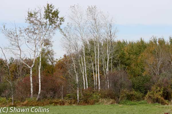
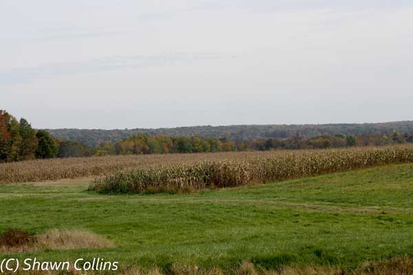
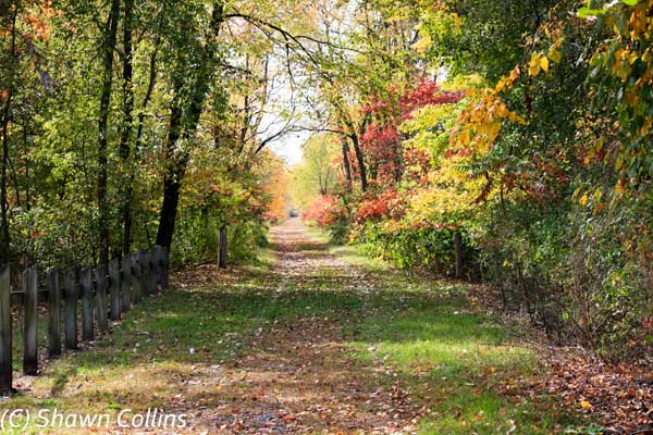
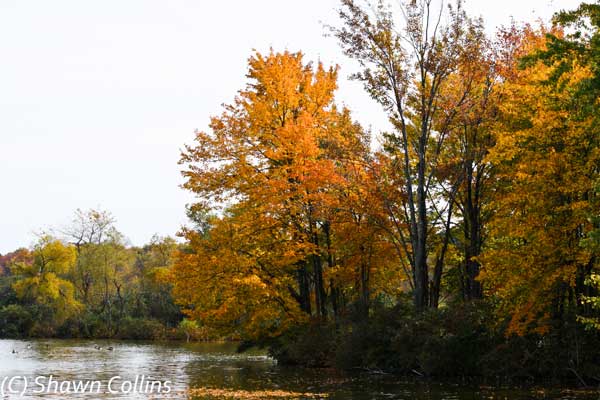
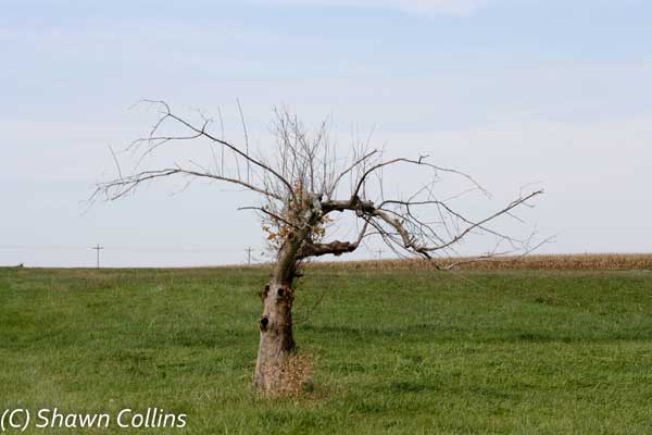
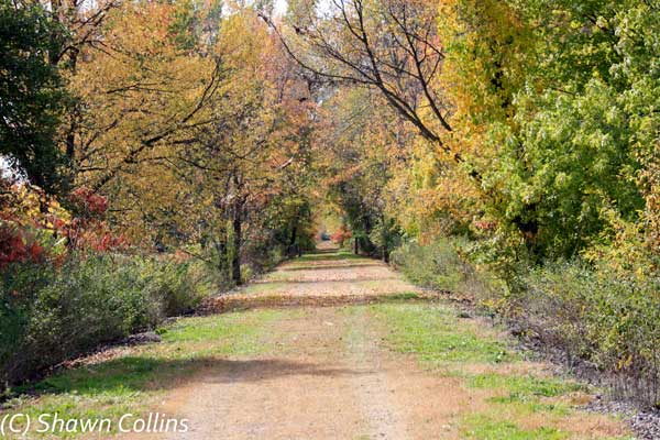
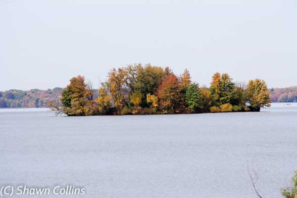
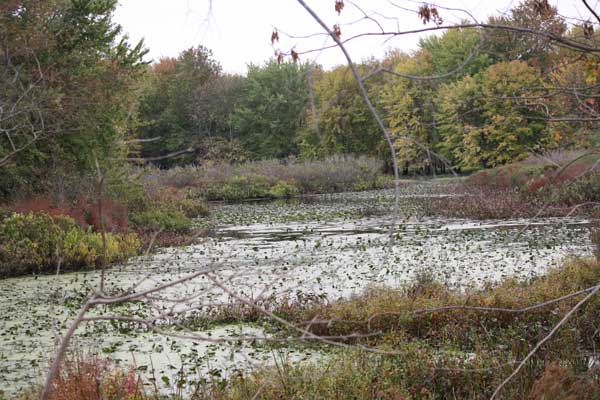
DESCRIPTION: On the border between Pennsylvania and Ohio, the 16,000-acre Pymatuning Lake was formed in 1933. The lake measures about 16 miles long by about 2.5 miles at its widest point (the Pymatuning Causeway). There are many public parks on both the Ohio and Pennsylvania sides with a total of about 70 miles of shoreline. The surrounding land is fairly level and contains many cottages, residential homes, and farms. There are several overgrown farmlands, pine plantations, and even some of the old swamp remains. Waterfowl is the highlight of this area, especially from fall through spring, but a diversity of habitats attracts many other species as well.
DIRECTIONS: See sub sites
|
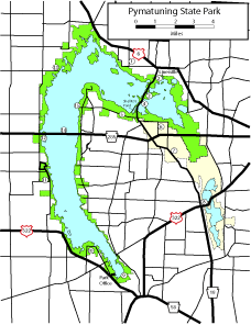
Map - other than Google (Click on map for larger view)
|
|||||||||||
|
Sub-sites | |||||||||||
|
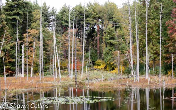
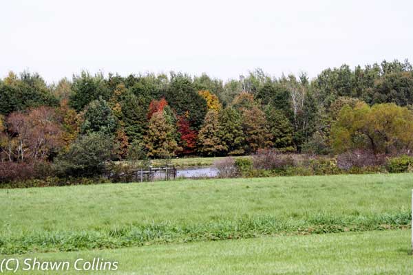
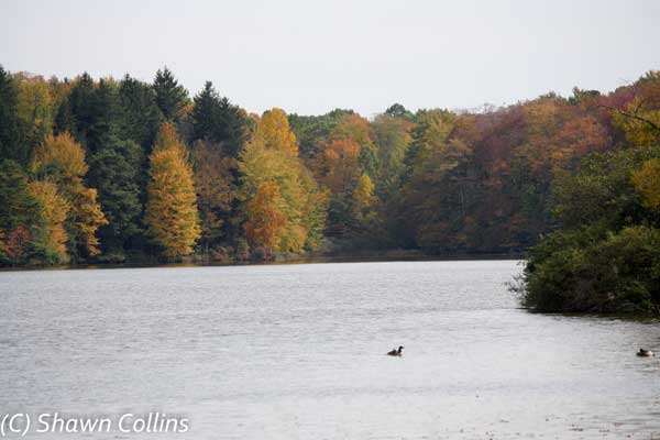
Photos |
|||||||||||
|
|||||||||||
|
Posted: Oct 24, 2009 Updated: Jan 01, 1970 |