Beltzville State Park
| Carbon |
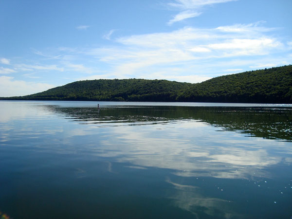
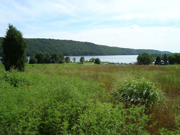
| DESCRIPTION: Beltzville State Park is a 2,972-acre park with 949 acres of water, 19.8 miles of shoreline, and over 15 miles of trails. The southern side of the lakeshore is primarily steeply sloped with hemlock, white pine, and rhododendron. Two access areas on this side have parking and trails that border the shoreline. There are also open brushy and secondary growth areas, as well as a few cultivated spots. The best birding, though, lies along the northern side of the lake. Cultivated fields, wildlife management food plots, deciduous and coniferous woodlots, old orchards, a swimming beach, waterfalls, small cattail areas, and creeks provide a diversified area easily accessible for birding. The park office is 0.1 mile on the west side of the park entrance (the first road to the right after the entrance). The recreational and trail guides available here will aid in finding parking areas and places where hunting is allowed. At the Environmental Interpretive Center/Visitor's Center (the second road to the right from the park entrance), maps of the park are in the front, and restrooms are on the east side. This area can become very crowded in summer and is best avoided around the beach area except after a storm. There is almost always someone on the water with a boat, and you may need to scan the water from many spots to see where waterfowl are located. Winter and spring are probably the best times to bird here as the food is abundant and the people are few. When birding the food plots on the PGC property, use caution during hunting season. The plots are arranged in rows, and someone shooting into one could easily penetrate the other side. A scope is recommended unless you are only looking for land birds. About two-thirds of the park is open to hunting in season; watch for signs. Description adapted from Birds of the Lehigh Valley and Vicinty, available at http://www.lehigh.edu/~bcm0/lvas/BOLV.htm. |
DIRECTIONS: From Exit 34 of I-476 (the Northeast Extension of the PA Turnpike), follow the Beltzville State Park signs, turn left off the exit onto US 209 North. Almost immediately, turn left at the park sign onto Harrity Road. Go 0.1 mile on Harrity Road and turn right onto Pohopoco Drive. To reach the first stop on the tour, follow Pohopoco Drive 0.8 mile and bear right onto Old Mill Road. |
|
Maps - other than Google (Click on map for larger view)
|
|
Sub-sites |
Photos 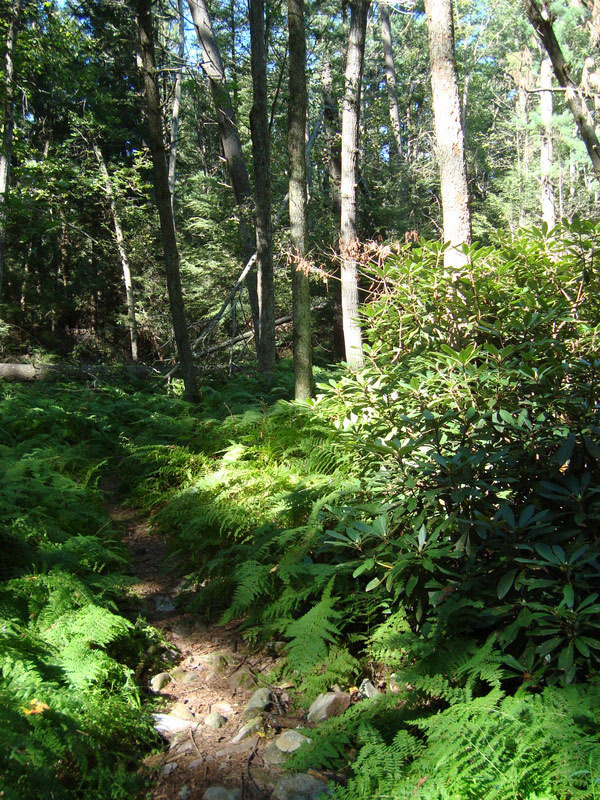
|
| Posted: 2009-10-24 00:00:00 Updated: |