Amish Areas of Lancaster County
| Lancaster |
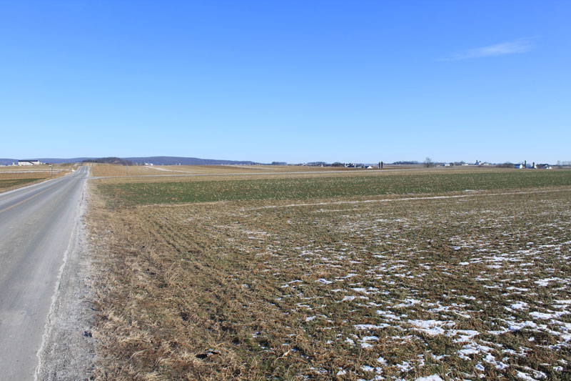
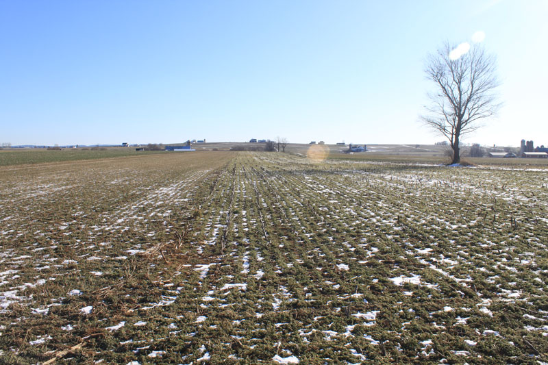
| DESCRIPTION: The Amish farmland of eastern Lancaster County is located around the town of New Holland. The area is predominantly agricultural with population centers located along the major highways that intersect the area. The topography is characterized by broad, gently rolling slopes and level-to-undulating lowlands. Two waterways drain the region: Mill Creek south of PA 23 and the Conestoga River north of PA 23. Driving through the farm country can be difficult and sometimes frustrating because the roads are generally narrow. In addition, the majority of roads were built around farm property lines, making the roads a maze of doglegs and T intersections with one road often having two names as it winds around the dogleg or meets at the T intersection. Parking is usually limited to pulling off to the side of the road. All land is private property, and permission from the property owner must be obtained before entering any fields. The most productive time to visit the Amish Farmland is during the colder months, from November through March. The arctic tundra birds are the target species in this area. Frequent stops are suggested to cover the area effectively. For the best results every field and each individual tree should be scoped. One of the easiest ways to find these field birds is to check all the fresh manure strips after a snowfall. Check the streams in the area for wintering Wilson's Snipe. |
DIRECTIONS: The most productive areas are just west of New Holland, both north and south of PA 23. Groffdale Road is a good starting point. A good county map is needed to navigate this area. Just wend your way through this area, stopping wherever you see raptors or field birds. |
|
Maps - other than Google (Click on map for larger view) |
|
Sub-sites |
Photos 

|
| Posted: 2009-10-24 00:00:00 Updated: |
